Fort William Henry Museum Map
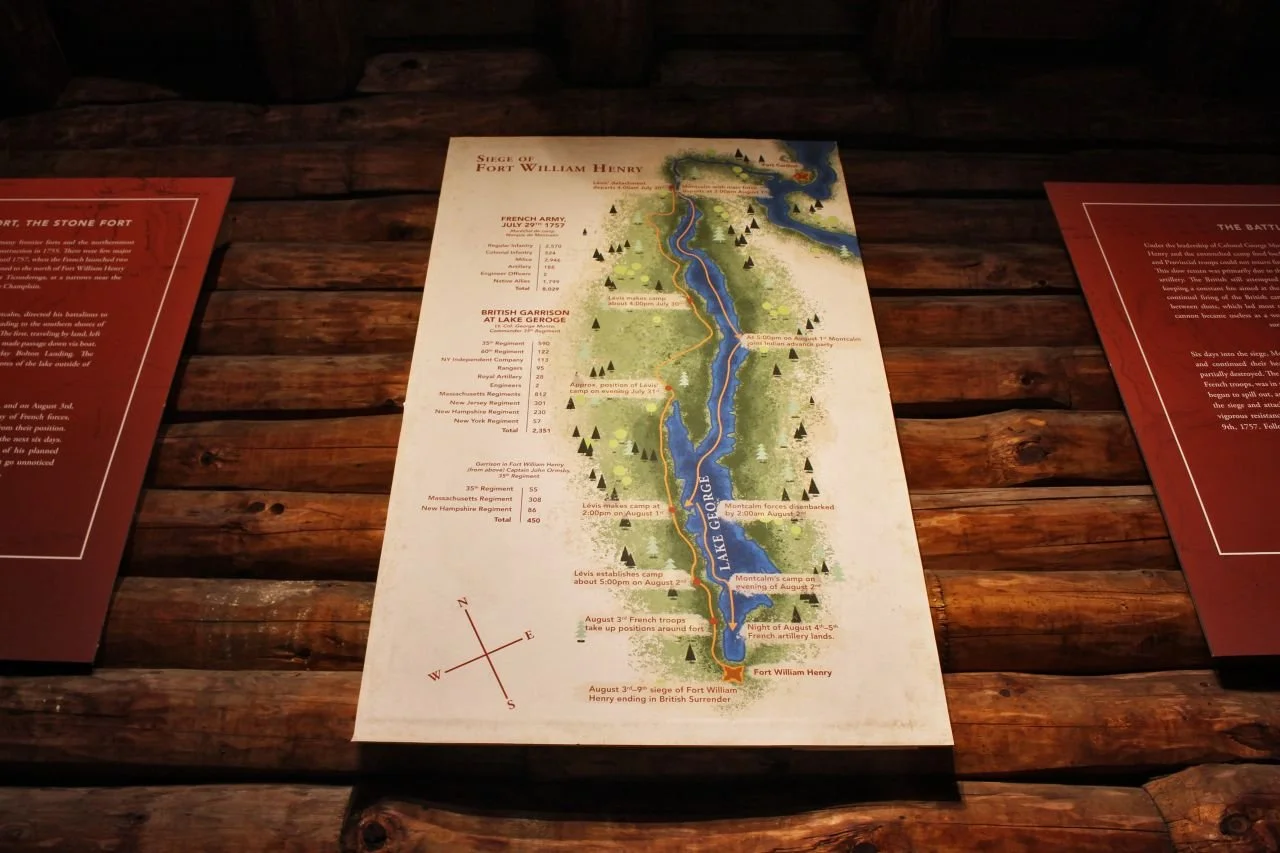
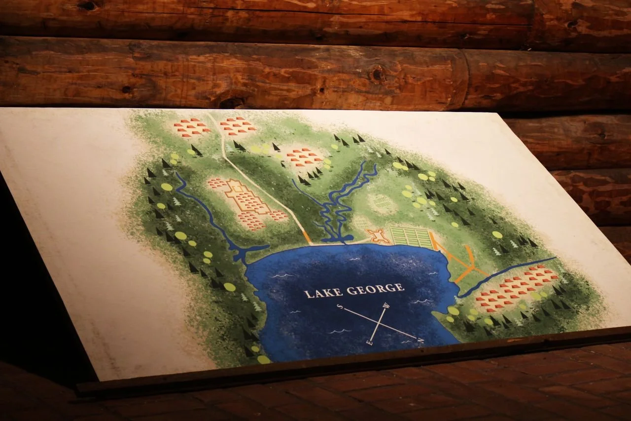
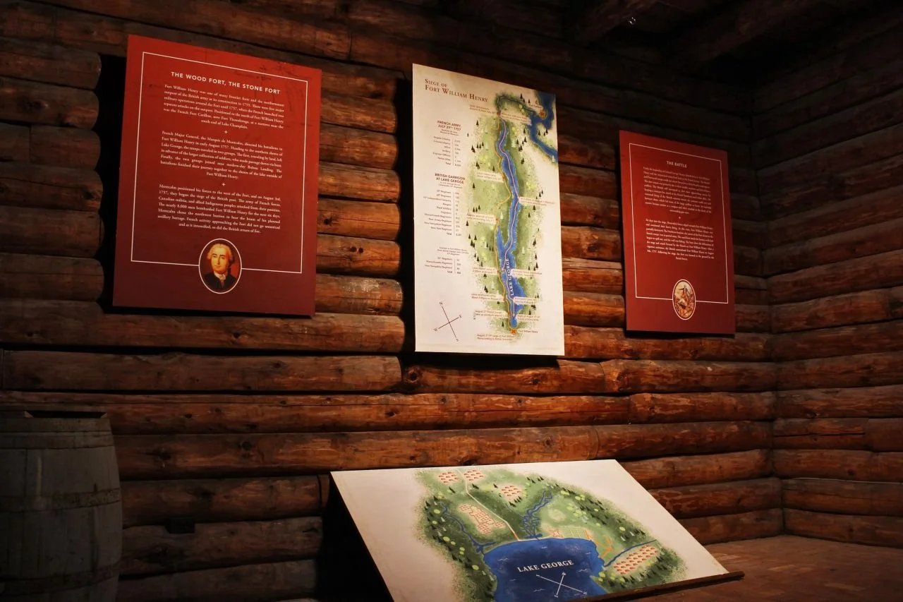
The Siege of Fort William Henry was a battle lead by French and Indian forces against the British occupation in Lake George, NY. After a violent and brutal attack on the fort, what resulted was a victory for the French and Indian contingent. The maps here were made to show the travel patterns of Louis-Joseph de Montcalm and François-Gaston de Lévis’s Troops as they approached the battle and the total number of men from each side.
The Approach
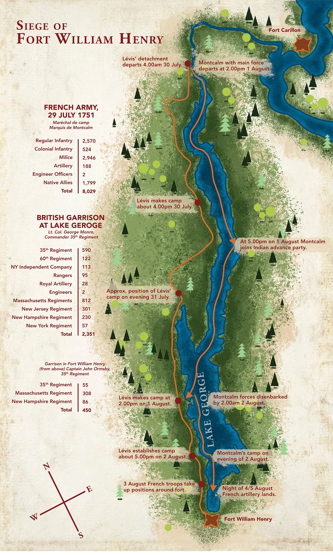
As Montcalm and Lévis converged on Fort William Henry, the British received intelligence that the French were accumulating resources for an attack. Once the French and Indian forces reconvened, the following battle lasted several days and resulted in hundreds of casualties. British forces then surrendered to the French and the terms were to withdrawal from Fort William Henry to Fort Edward.
The term surrender seemed lost in translation as the Indian allies then commenced in brutally killing many British prisoners, leading to what many call, a massacre at the fort.
The Process
After extensive collaboration with the Fort William Henry Museum director Lindsey Doyle and style research, we landed on a concise, but lustrous design that represented the museum brand faithfully. We also worked alongside a local app design company to allow the bottom map to be scanned and interacted with.